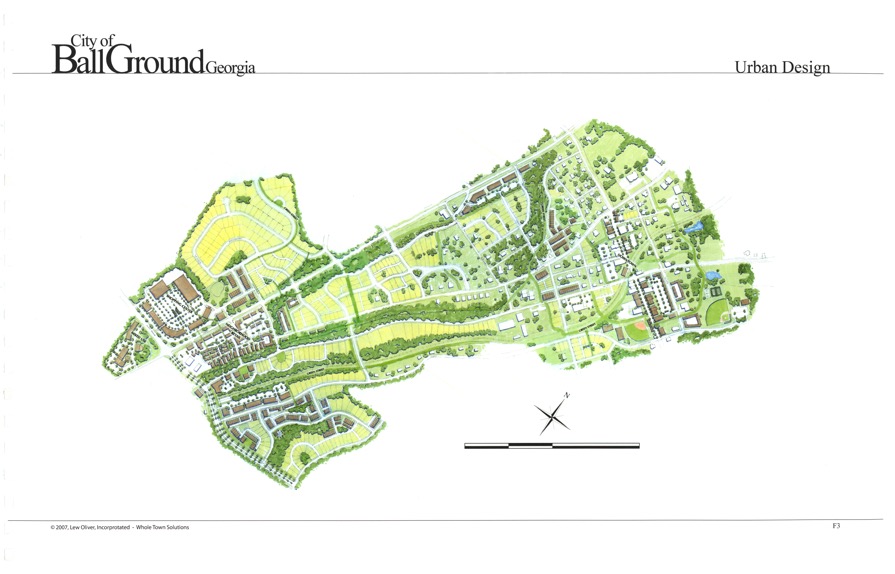
The City of Ball Ground has developed a Master Plan for the development of its downtown district. The Ball Ground Downtown District is much larger than the core area along Gilmer Ferry Road that most people recognize as the “downtown”.
In this area the City has planned for the type and density of growth, future road, sidewalk and green street connections, park, walking trails and utilities. Another significant aspect of this plan is the work down on the Gilmer Ferry Road Corridor that provides artist renderings of what infill development should look like, and what façade restoration work could make our existing buildings look like.
The Master Plan is a guide the City has adopted to assist us in managing growth, however it is not a rigid document that is strictly enforced. It is a plan that helps us see what opportunities may exist but also gives us the flexibility to allow sensible changes for good development.
Click HERE for the full document.

Click on graphic to download pdf


